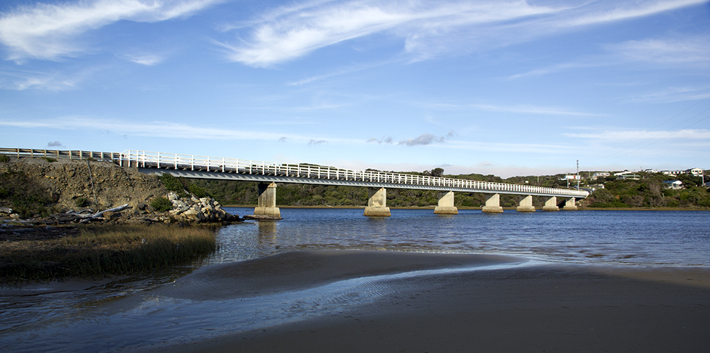
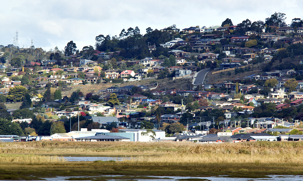
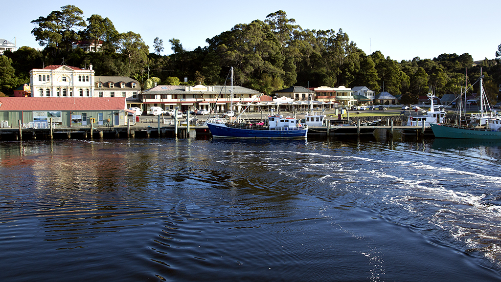
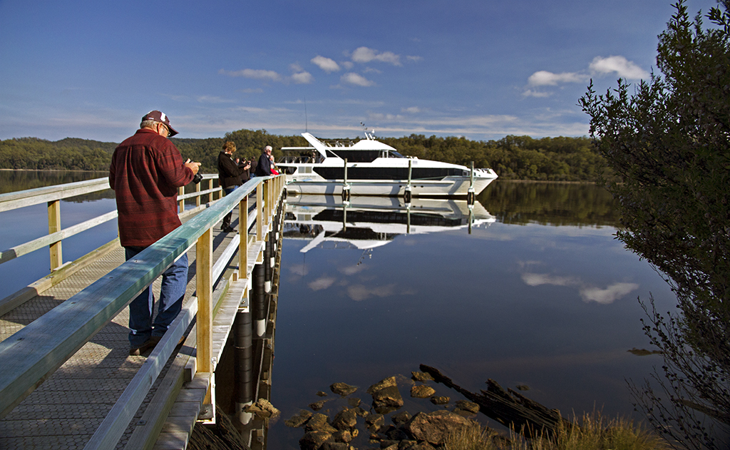
Day 64

Monday 4th May

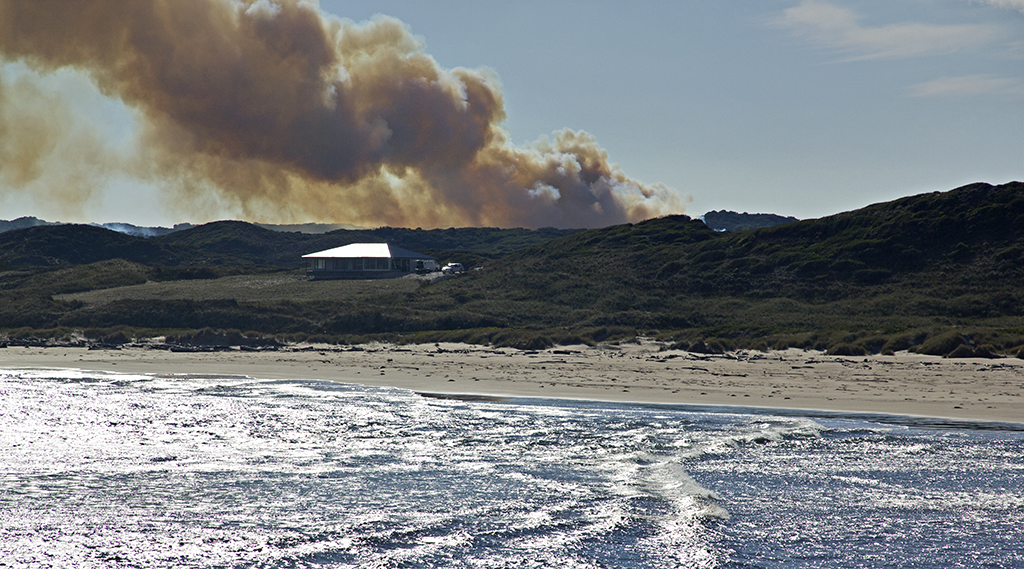
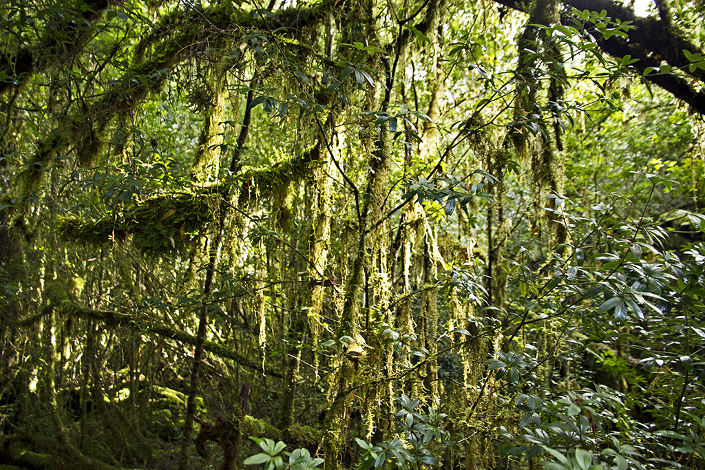
Well we went for a drive out to Dip Falls and then spent some time in the bush, then on our way home called into Edgecombe  beach, weather was turning bad.

IMG_5949  
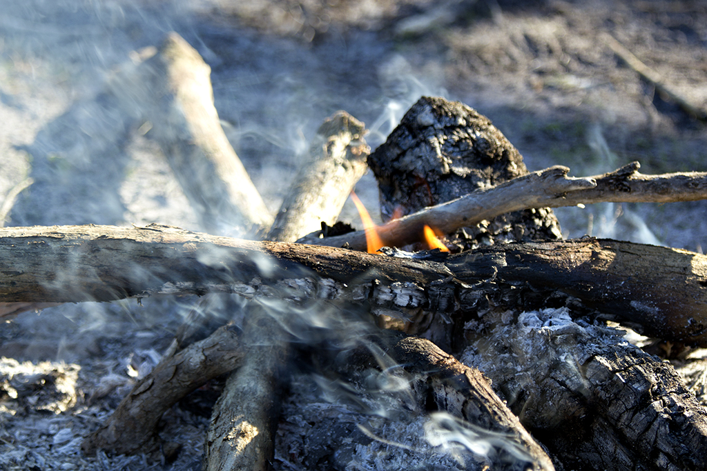
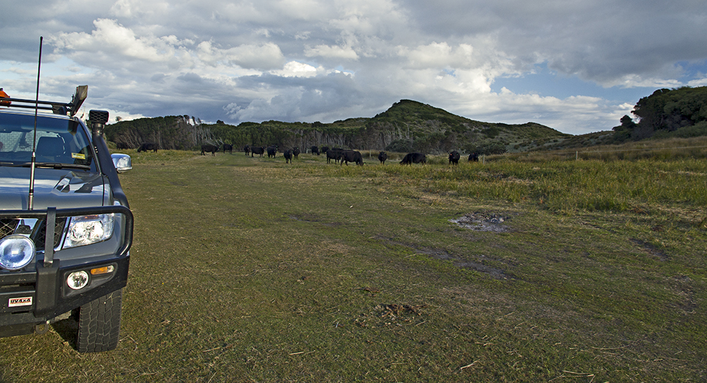
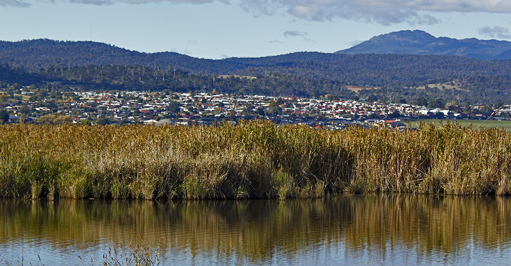
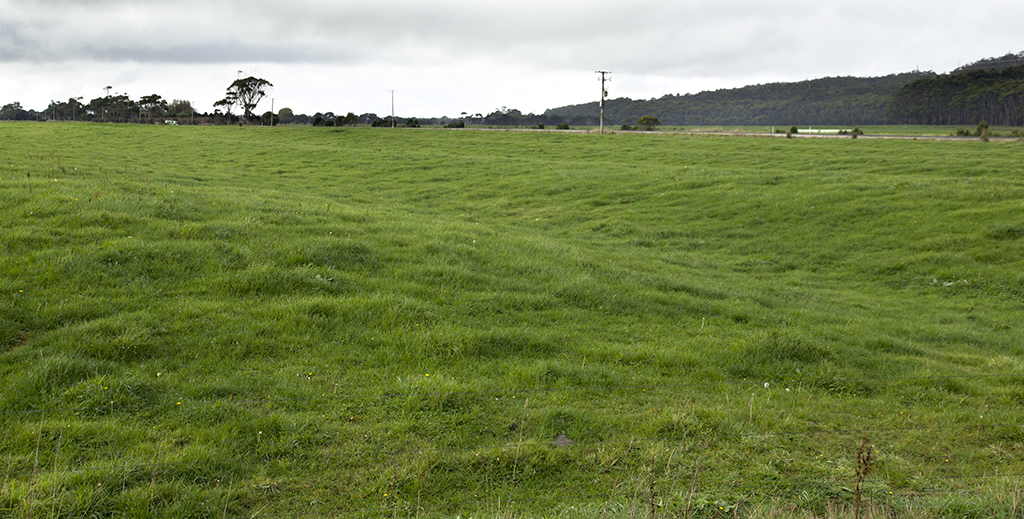
I found it fascinating how the farmers make dips in the paddocks to hold the water, smart really.IMG_5952 IMG_5953  
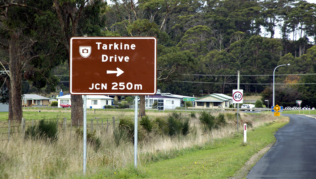
View of The Nut at Stanley from our drive back out from Dip fallsIMG_5959 IMG_5960  
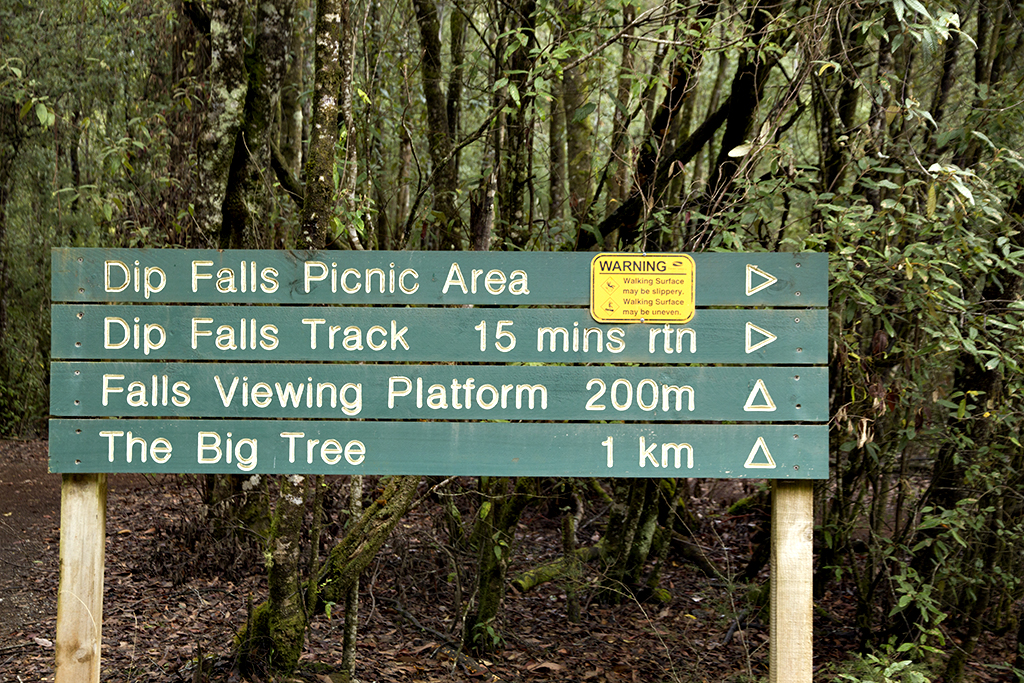
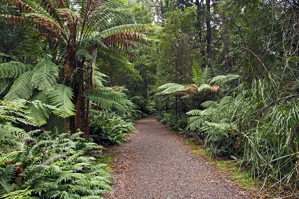
Car park and picnic area at Dip fallsIMG_5987  Viewing platform of the falls IMG_5990  
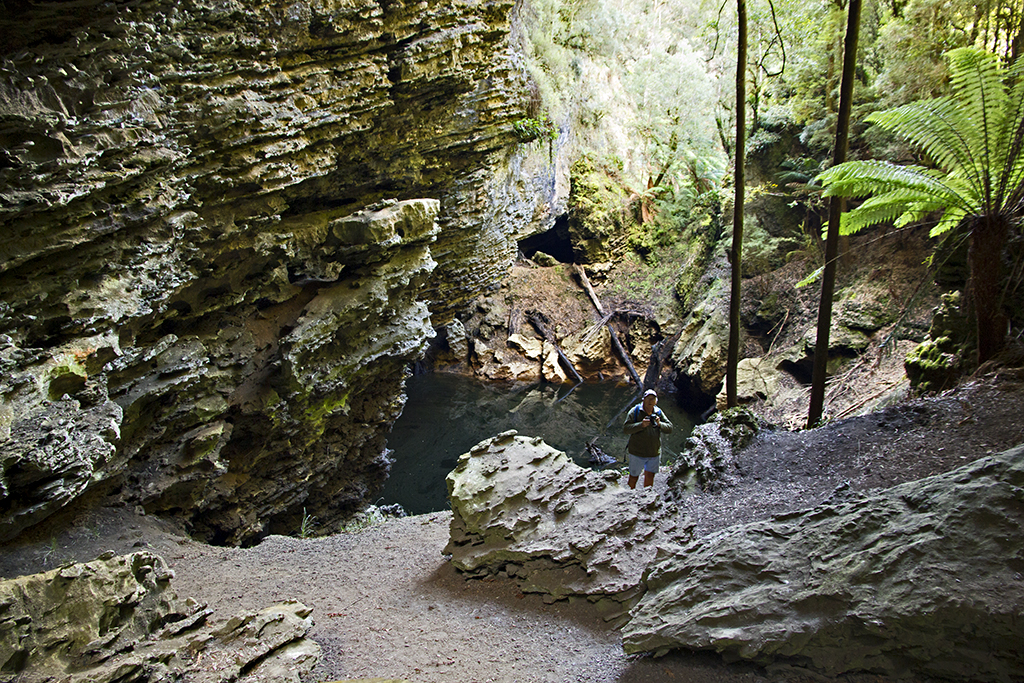
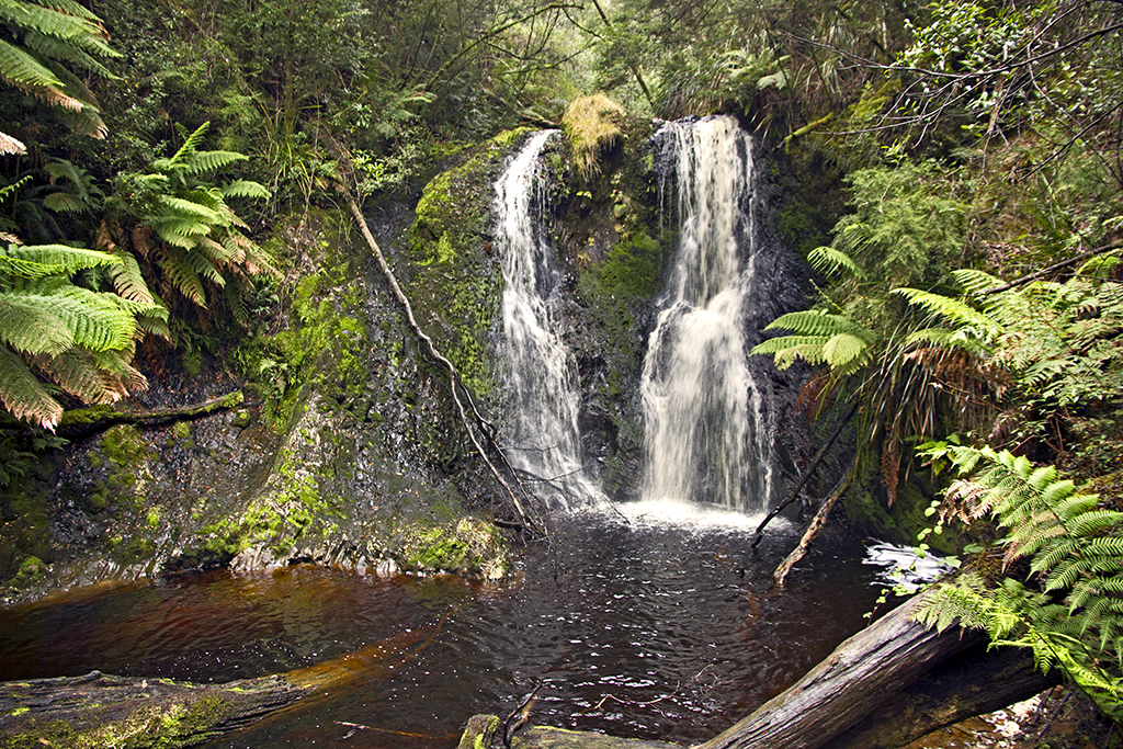
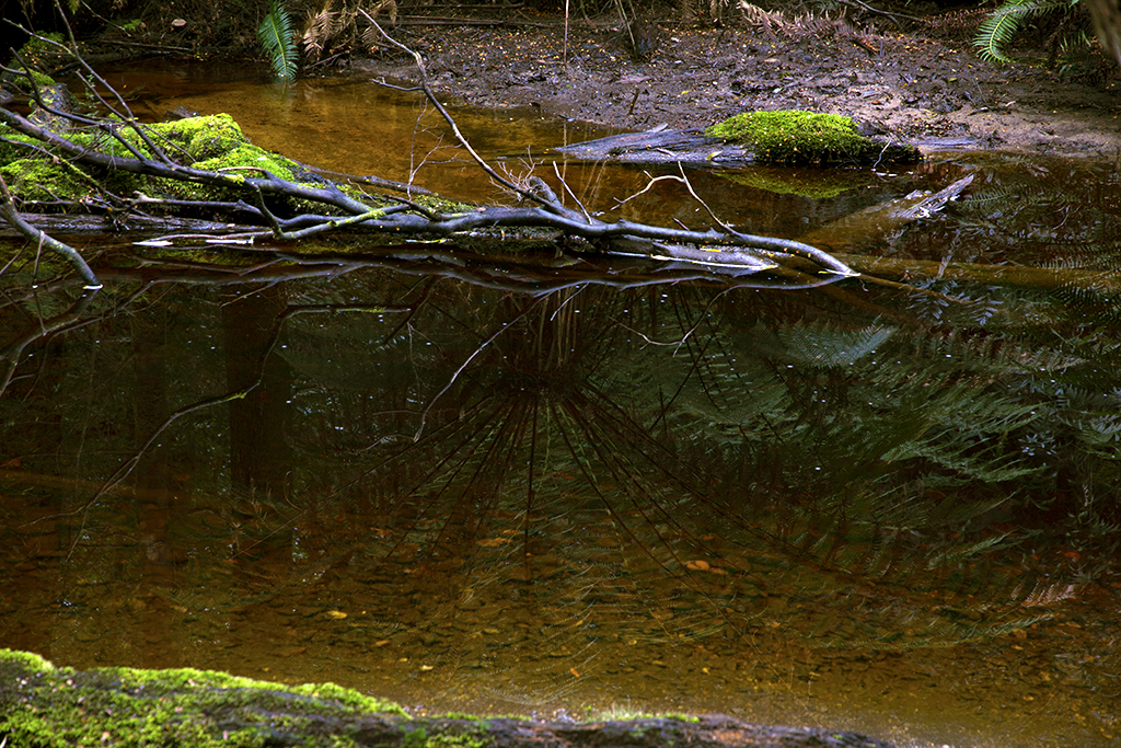
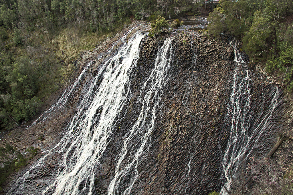
This is the view, they are so big couldn’t get the falls all in.IMG_5991  Bottom half of the fallsIMG_6037  
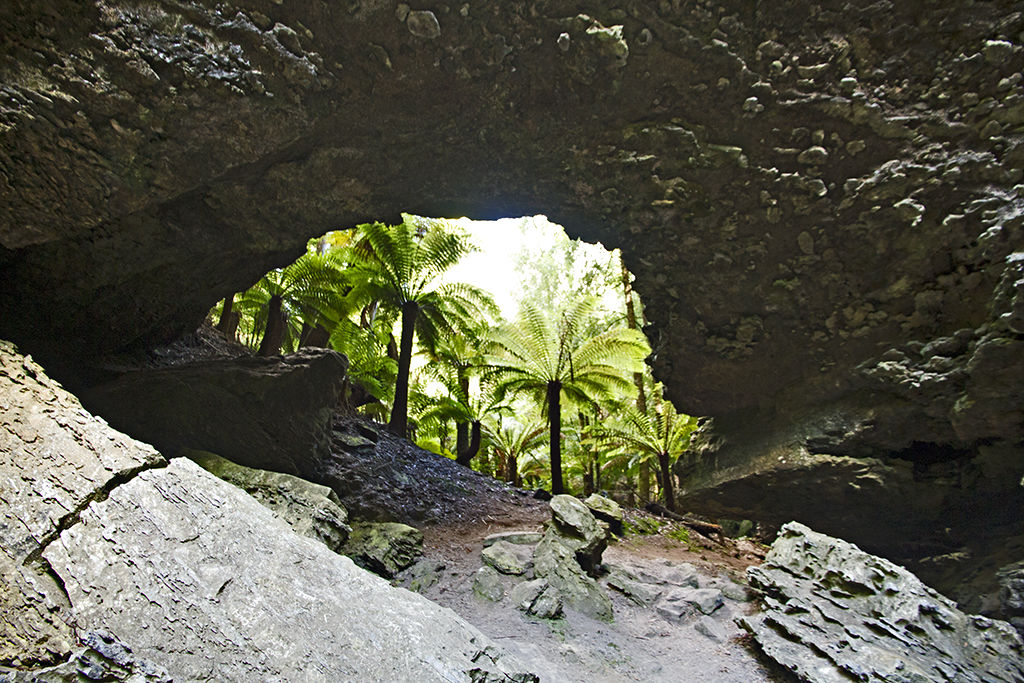
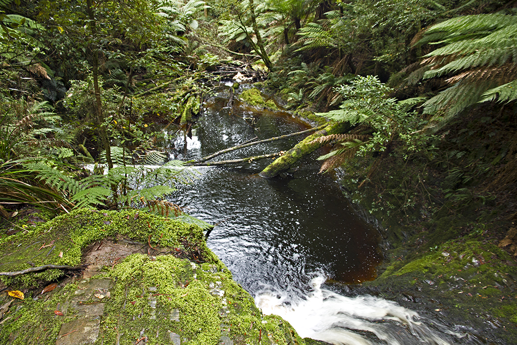
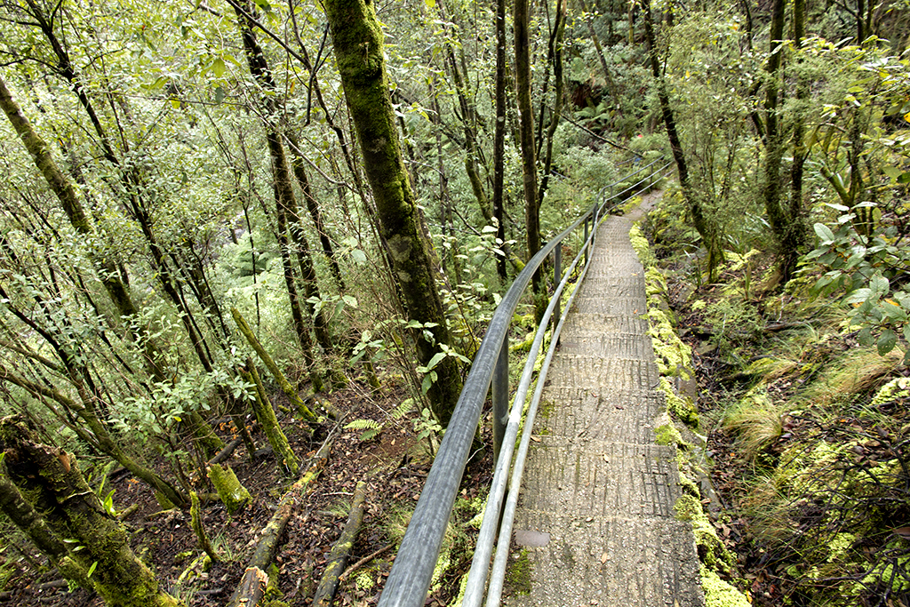
152 steps down to the bottom to see the lower part of the falls, yes we did it.IMG_6059  
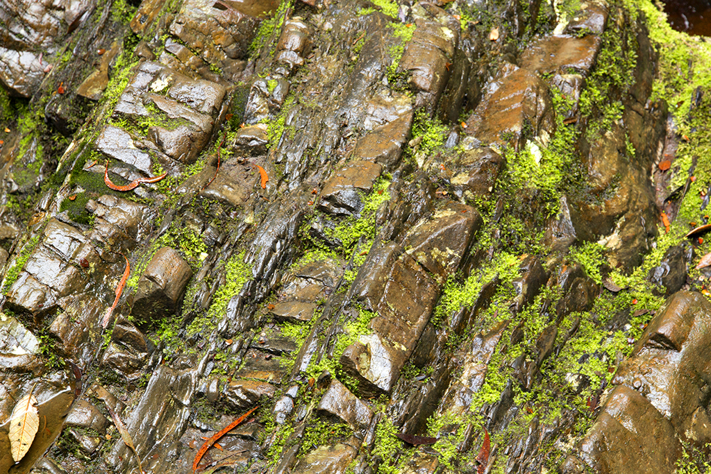
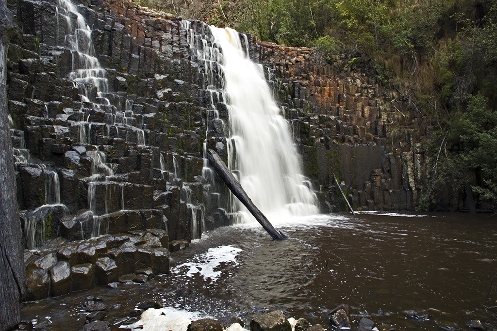
Lower falls, lighting was not good .Note the rocks are a basalt.IMG_6067 IMG_6071 IMG_6078  
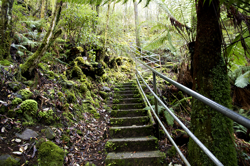
Now the 152 steps back up.IMG_6146 IMG_6150  
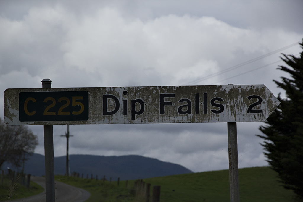
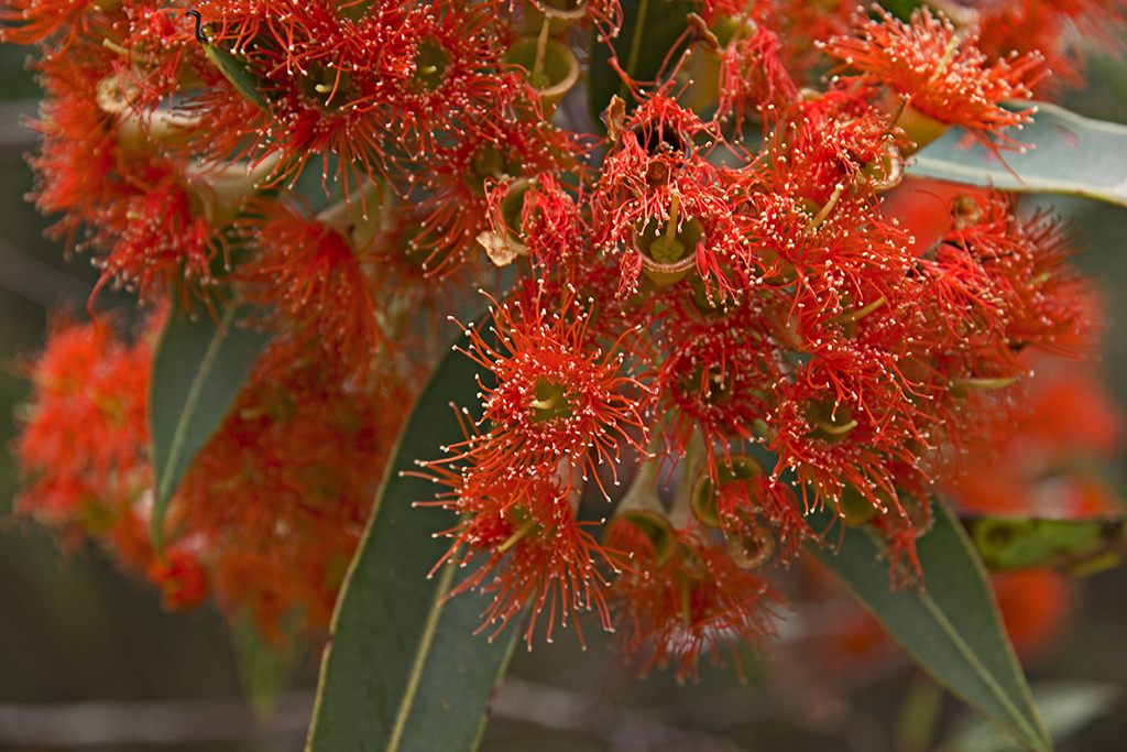
Outside the honey place on the Dip falls road, beautiful colours.IMG_6157  
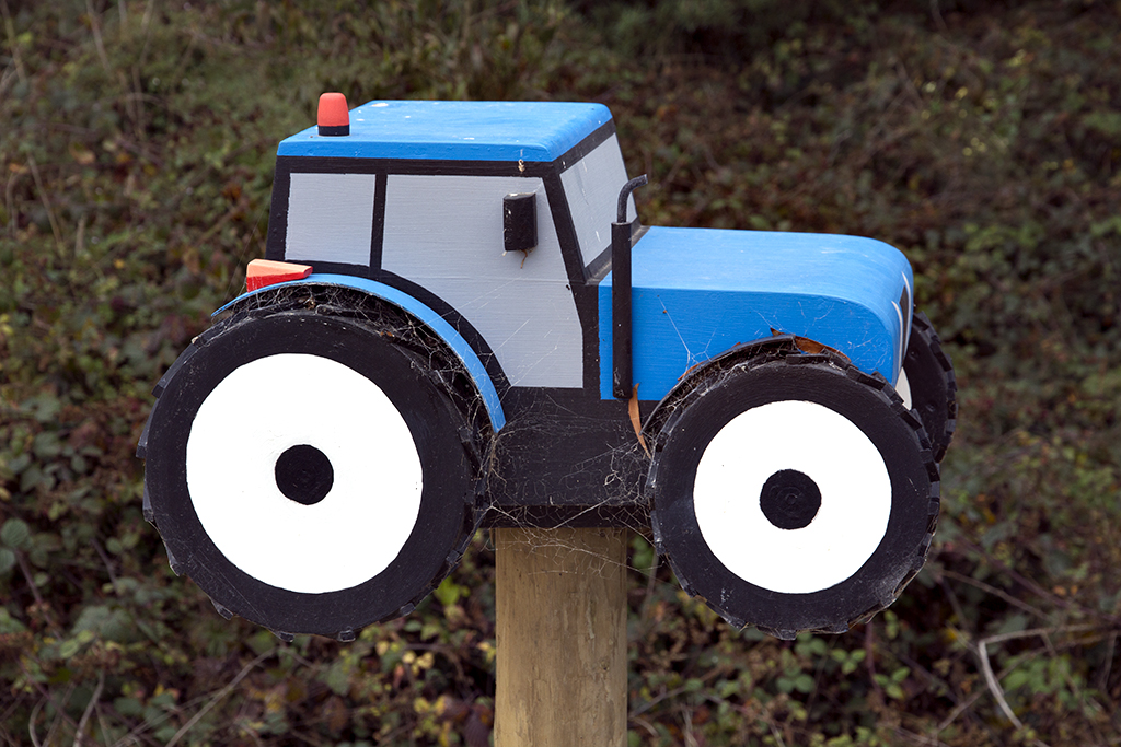
A wee tractor at the junction of a road.IMG_6174  
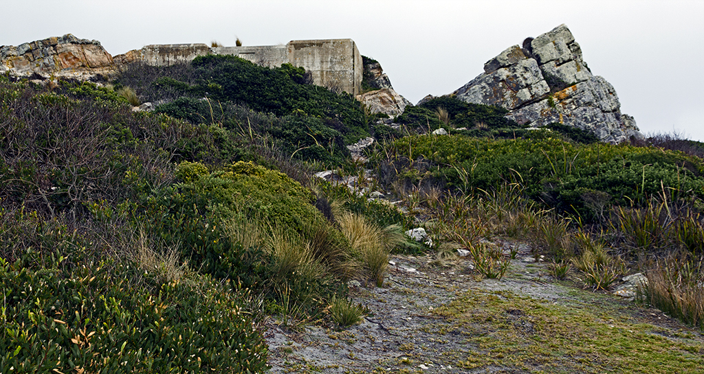
Rocks and some of the colours, lots of these sort of rocks up this coast, all being used for geological studies.IMG_6289  
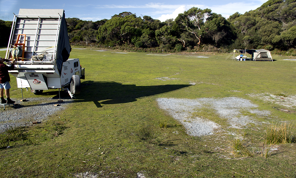
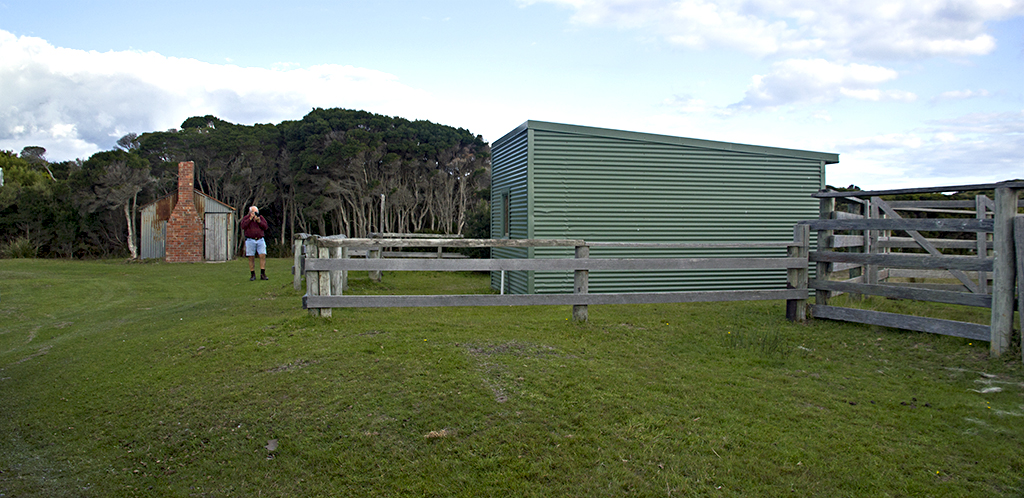
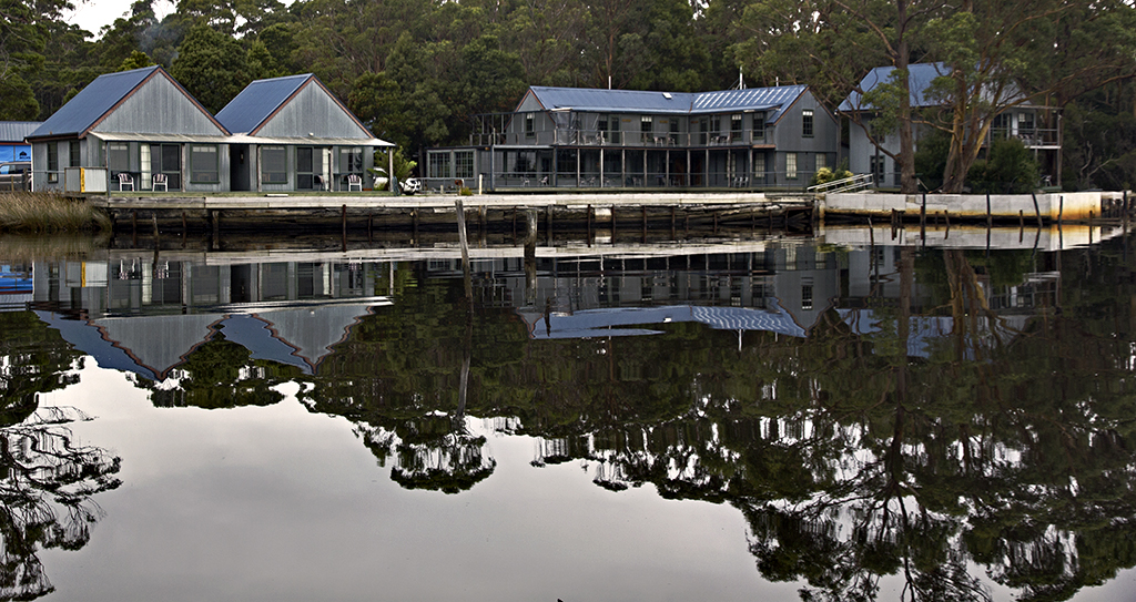
This is where we have been camping, its free around the back on one side, and for power on the other side its $10 a night + $3 for showers and toilets, deposit for key which you get back when you hand the key in. Very lovely meals as well with specials on most nights of the week.IMG_6283 
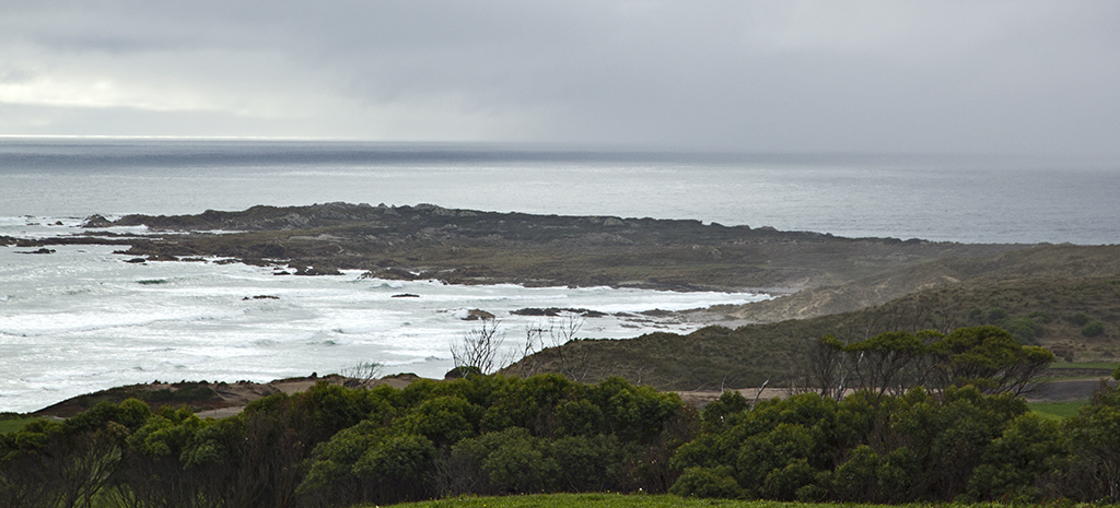
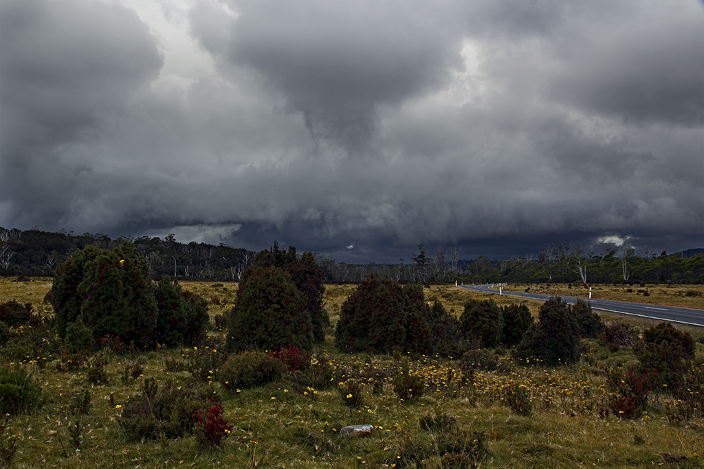
Sun setting with a storm coming at Port Latta in the mid  ground and The nut in the back ground. this was at Edgecombe  beach.
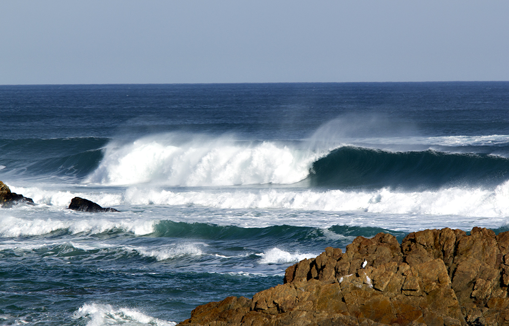
Day 62

Saturday 2nd May

Called into Mawson Bay, what a lovely wee fishing village, we did call into others on our way but all very similar this one we spent some time, the rock formations and just the feel about the place. we carried onto Marrawah stopping at what we wanted to look at, lovely rough coast line. Camping at Marrawah is a very small area, by the sea, toilets very handy but our set up is to big for the area, probably couple of vans and a few tents would be about it.

IMG_5522  Bluff Hill PointIMG_5538  Mawson BayIMG_5553 IMG_5569 IMG_5571
IMG_5679 IMG_5675  Heading out to West Point State Reserve.IMG_5687 IMG_5680  Beautiful Colours in the rocksIMG_5690 IMG_5738  Don is standing on the orginal lighthouse prior to being moved to the Bluff pointIMG_5727 IMG_5766  Storm is coming and what a beautiful sight to get the full rainbow.IMG_5846 IMG_5877 IMG_5686 IMG_5880 IMG_5892  Tiny pony at Marrawah Green point.IMG_5890 IMG_5909 IMG_5922 Tarkine Sky Walk

Day 61

Friday 1st May

Woke up early at Rebecca’s Lagoon and it was a frost, so got a fire going and my good old blanket wrapped around me in the sun. We packed up from here and went and checked out Nelsons Bay then on out to the lookout called The edge of the world, beautiful beach, rocks, logs all over the beach, really lovely area, but not a lot here once you have been here for a few days.

IMG_5324  Frost on ground.IMG_5326  Keeping warmIMG_5331  Nelsons BayIMG_5365 Edge of the world  road.IMG_5379 IMG_5366 IMG_5340 IMG_5338 IMG_5356 IMG_5408 IMG_5440  Looked across at where we are going to camp and there’s all this smoke. The water here runs into the mouth of the Arthur River.IMG_5457 IMG_5455  Lots of room here in the Parks and wildlife. This area is just one of many connected to the camping area.IMG_5456  I’m keeping an eye on this, but we are sure its a controlled burn off. That is the toilet block, really lovely and clean.IMG_5515 IMG_5516 IMG_5468  Bridge over the Arthur River, this is where you can take several Cruises up into the Tarkine.IMG_5487 Patterns in the sand.

Day 60

Wednesday 30th April

Went for a drive today and did the Tarkine circuit, called into Trowutta, Rebecca’s Lagoon and Couts Beach.

IMG_5192 IMG_5202  Ancient forestIMG_5207 IMG_5214 IMG_5219  Sink holeIMG_5227  Looking down into the sink hole on one side only.IMG_5228  Sink hole on the other side of the arch.IMG_5229  Wall of the arch.IMG_5244 IMG_5240  Looking up through the hole of the arch from the side with the water in the sink hole, all very airy down here.IMG_5246 IMG_5266  Lots of these signs around this area.IMG_5268  Arthur RiverIMG_5275  These signs are alway after the sign about the endangered Tasmanian Devil, we think because of the noise when you drive over them it may scare them off and there fore save a life.IMG_5288  Rebecca’s Lagoon, endered up camping here but in the paddocks to the right of this photo.IMG_5289  Couts BeachIMG_5298  Rocks at CoutsIMG_5306 Camping with the cows again at Rebecca;s Lagoon. Beach is over the dunes on the right.

Day 56

Saturday 26th April

Weather not looking to good, but we did get a break so thought we’d go and see the Tamar Wetlands in Launceston. So close to the city it’s incredible. Get a good view of the hills that are built on.

IMG_4838  Looking down onto Sea PortIMG_4849  Tamar wetlands and looking over towards the built up area of LauncestonIMG_4851 IMG_4868  Information centre at the wetlands, also very good view out onto the wetlands.IMG_4877  Very hilly place Launceston, town seems to be down in the valley and houses all up around on the hills, very beautiful place.IMG_4884 IMG_4890 IMG_4896 IMG_4900 IMG_4929 IMG_4935 IMG_4926


Day 54

Thursday 24rd April

We headed back from the West Coast via Rosebery and the Murchison highway, then we turned off along the May Plains, then onto Mole Creek Rd. Was lovely country driving. Back to Launceston.

IMG_4705  Mining buckets at Rosebery.IMG_4708gumflowersRosebery  Gum flowers in rain.IMG_4712MainStRosebery IMG_4713 IMG_4724  The falls.IMG_4729  IMG_4736  This is the heat and gases flowing from the mine, they do it to keep it clean and vented. Its a very deep mine.IMG_4738  Artwork statues to signify the mine.IMG_4747  Looking down on the mining area. Rosebery.IMG_4751 IMG_4756 IMG_4760 IMG_4769  Tallah, another old mining town.IMG_4787  Stopped for a picnic break and here was a bunch of Fungi.IMG_4793  Just took this from the car while we were driving to show the bad weather.IMG_4794 IMG_4801  Climbed to the top of the lookout.IMG_4821 IMG_4823  Storm is coming.IMG_4835

We went to Chudney and this lovely wee shop, I sampled every honey wow, some are awesome, then had a honey ice cream.

Day 53

Thursday 23rd April

We had a day to rest so decided to go up to the falls, these falls are in the township of Strahan and not far at all, we just took our time and then enjoyed the rest of the day chilling out at the cabin, weather was overcast and cooling down. Nice day though.

IMG_4576 IMG_4583  Beautiful bush tracks.IMG_4596  Bush stream, very brown from all the tannin.IMG_4613  FungiIMG_4626  StreamIMG_4631  Hogarth Falls.IMG_4633  Rocks and MossIMG_4639 IMG_4652  Reflection in stream.IMG_4673Punga(TreeFern)  Punga or Fern tree.IMG_4692  Reflection of the retreat.IMG_4695

Day 52

Wednesday 22nd April

Woke to a lovely sunny day for our Gordon Rive Cruise, we have to be down there early and also we wanted a good parking spot. Our cabin was only around the corner so that was handy, here are a few images to see what it was like.

IMG_4103  The wee township of Strahan, this is where we catch the cruise. IMG_4108  The harbour and Jetty.IMG_4115  The Lady Jane Franklin 11, I liked the reflections in the window.IMG_4117 IMG_4122  Looking over the harbour to where you board the wilderness train trip from.IMG_4123  Inside the Lady JaneIMG_4133  Sea plane getting ready to pick up some passengers for a scenic flight.IMG_4159  Leaving the JettyIMG_4208 IMG_4253 Then entrance back into the harbour from the ocean, very deep and swift waters in that channel.IMG_4262  Only was in or out for these people is by boat, now that’s living in peace apart from the cruise boats every day.IMG_4274 IMG_4282 IMG_4336  We drop right down to a few knots as entering into the Gordon River, very old and ancient forests here, some of the Huon Pine is thousands of years old, wonderful journey and history. Thank goodness they stopped logging it but you can see where they have.IMG_4371  We got off the boat and did a walk up into the forest, just another world.IMG_4399  One of the other cruise’sIMG_4431  Jetty where we went onto Sarah Island and learned all about the convict days and how cruely they were treated, very moving as the lady acted out as she told the story. Reminders are still there as far as the hollows in the ground, logs that were left where they did the boat building etc.IMG_4451  Another jetty on the Sarah Island that was used, its very old.IMG_4481  A ruin from old.IMG_4498  This is some of the huon pine logs left from boat building.IMG_4506  Returning to our cruise.IMG_4558 Strahan from above.