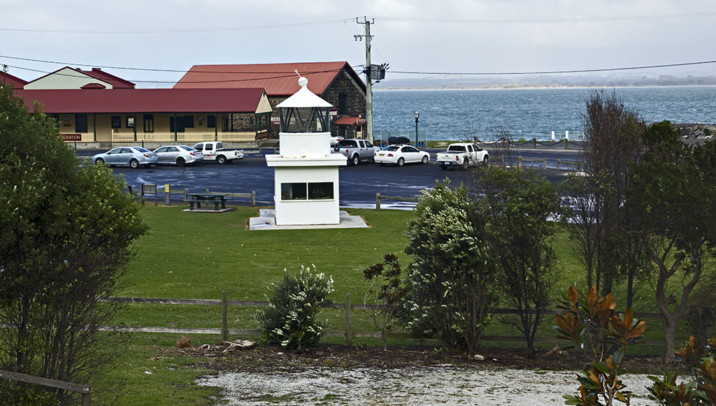
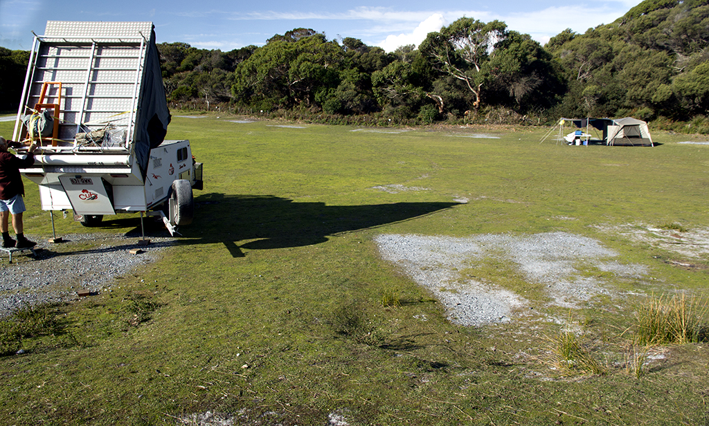
Day 70

Sunday 10th May

Hope all the mothers out there took some time out for themselves.I did, Went down to Seaport in Launceston and walked from there and around to Cataract Gorge taking some photo’s, was a beautiful day and back again.

IMG_6503  
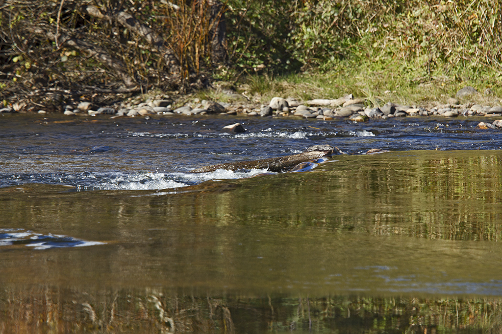
Seaport Walkway/JettyIMG_6510  
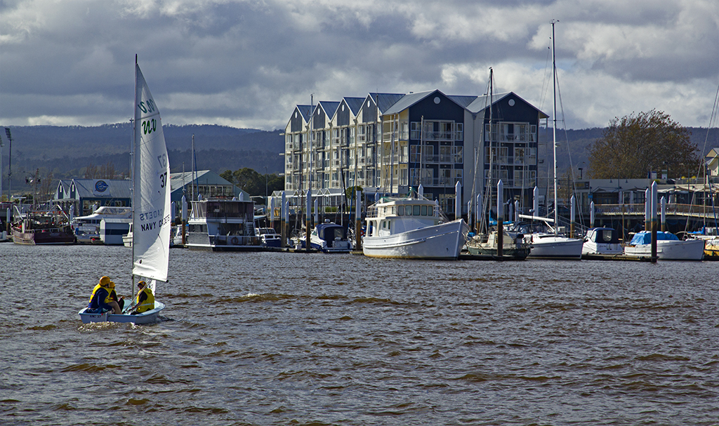
kids in their minnow yachts, or it maybe the next size up (cant remember the name of the next sized one), practicing.IMG_6519  Cruise boat passing and then he goes up the gorge and back.IMG_6528  
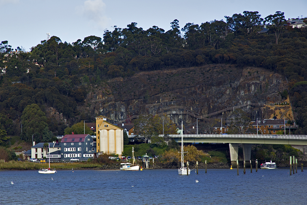
Big building on the left is called Stillwater Restaurant, this is where Don’s son works as a chef, it also has a art gallery for the local artists. Cataract Gorge runs up on the right hand side, there are two bridges but the one behind is out of view in this shot.IMG_6536 There are the two bridges, and the Cataract gorge with the boat returning.

Day 67

Thursday 7th May

All packed up early and ready to head back to Launceston, vehicle due for big service. Beautiful day but that wind has ice in it.

IMG_6484  First glimpse of snow on Mt Roland, very pretty, know wonder I could feel ice in that wind.IMG_6486  Every time we go past here we get punnet or two of Raspberries, and some chocolate coated ones as well, very nice treats, make them last as well, 🙂 We actually had morning tea here and they made me a gluten free pancake, I was so very grateful, Thanks Christmas Hills.IMG_6494  Just a shot while travelling.IMG_6496  Here back at our base and there is snow on the hills outside of Launceston. This is from the veranda.IMG_6495 This is the hill beside Ben Lomond.

Day 66

Wednesday 6th May

Well we went for a drive, the storm has passed , we still have rain and the annex cant go anywhere now. Went to Stanley to see a photo our friend has put into the Cow & Calf Gallery, photography fine art, really lovely art. Got to meet David the owner and Photographer. Next door is the Brown Dog cafe, where we went to have some morning tea, lovely old and unique place. Just loved both their names and there is a story behind the Brown dog but didn’t find out if there was a story behind the gallery name.

IMG_6312 IMG_6349 IMG_6318  We did the walk along the historical area of old buildings in between sheltering in peoples veranda’s, loved this sigh as well, I have removed his phone number.IMG_6321  View from Bobs place, looking out over the bay of Stanley.IMG_6327  Under the Nut at Stanley.IMG_6338  Old railway station down by the jetty. I think this top part of the light house has been moved from somewhere else.IMG_6339  Road heading to Railway station and the big crayfish, great fish and chips we bought from there, so fresh.IMG_6343  Prices from old. Pound, Shillings and pence.IMG_6344  Inside waiting for a train, joking, it is now a cafe.IMG_6363 Church StanleyIMG_6360  Chair lifts up to the Nut, closed today, winds were very bad.IMG_6368  Another view of The Nut.IMG_6377  We were at Port Latta, all these gulls were going crazy, then they would all land on the water then take to the air again, but the winds were really blowing them around. Funny to watch.IMG_6464  Crayfish Creek on our way back to Rocky Cape.IMG_6474  We love this sigh, hell yer great. Haha.IMG_6480 Crayfish creek heading out to sea.

Day 65

Tuesday 5th May

We went for a quick drive, knew the weather was not going to be good today, but wanted to get to see some rocks we had been told about. Well the weather turned pretty fast, we got back in time to hang onto all the poles that we could, in the end the winds were so bad just blew up under the annex and the zip which was already a bit dicky  just broke and everything fell down on our heads. I have done a few movies on it, but only a couple of photos for this day. They recorded 90 km hour winds, worst in 22 years for Rocky Cape apparently.

IMG_6297  Rocky Cape National Park in back groundIMG_6304 Trees are fair swaying and poles, that’s why everything is out of focus, cause its moving.

Day 64

Monday 4th May

Well we went for a drive out to Dip Falls and then spent some time in the bush, then on our way home called into Edgecombe  beach, weather was turning bad.

IMG_5949  I found it fascinating how the farmers make dips in the paddocks to hold the water, smart really.IMG_5952 IMG_5953  View of The Nut at Stanley from our drive back out from Dip fallsIMG_5959 IMG_5960  Car park and picnic area at Dip fallsIMG_5987  Viewing platform of the falls IMG_5990  This is the view, they are so big couldn’t get the falls all in.IMG_5991  Bottom half of the fallsIMG_6037  152 steps down to the bottom to see the lower part of the falls, yes we did it.IMG_6059  Lower falls, lighting was not good .Note the rocks are a basalt.IMG_6067 IMG_6071 IMG_6078  Now the 152 steps back up.IMG_6146 IMG_6150  Outside the honey place on the Dip falls road, beautiful colours.IMG_6157  A wee tractor at the junction of a road.IMG_6174  Rocks and some of the colours, lots of these sort of rocks up this coast, all being used for geological studies.IMG_6289  This is where we have been camping, its free around the back on one side, and for power on the other side its $10 a night + $3 for showers and toilets, deposit for key which you get back when you hand the key in. Very lovely meals as well with specials on most nights of the week.IMG_6283 Sun setting with a storm coming at Port Latta in the mid  ground and The nut in the back ground. this was at Edgecombe  beach.

Day 62

Saturday 2nd May

Called into Mawson Bay, what a lovely wee fishing village, we did call into others on our way but all very similar this one we spent some time, the rock formations and just the feel about the place. we carried onto Marrawah stopping at what we wanted to look at, lovely rough coast line. Camping at Marrawah is a very small area, by the sea, toilets very handy but our set up is to big for the area, probably couple of vans and a few tents would be about it.

IMG_5522  Bluff Hill PointIMG_5538  Mawson BayIMG_5553 IMG_5569 IMG_5571
IMG_5679 IMG_5675  Heading out to West Point State Reserve.IMG_5687 IMG_5680  Beautiful Colours in the rocksIMG_5690 IMG_5738  Don is standing on the orginal lighthouse prior to being moved to the Bluff pointIMG_5727 IMG_5766  Storm is coming and what a beautiful sight to get the full rainbow.IMG_5846 IMG_5877 IMG_5686 IMG_5880 IMG_5892  Tiny pony at Marrawah Green point.IMG_5890 IMG_5909 IMG_5922 Tarkine Sky Walk

Day 61

Friday 1st May

Woke up early at Rebecca’s Lagoon and it was a frost, so got a fire going and my good old blanket wrapped around me in the sun. We packed up from here and went and checked out Nelsons Bay then on out to the lookout called The edge of the world, beautiful beach, rocks, logs all over the beach, really lovely area, but not a lot here once you have been here for a few days.

IMG_5324  Frost on ground.IMG_5326  Keeping warmIMG_5331  Nelsons BayIMG_5365 Edge of the world  road.IMG_5379 IMG_5366 IMG_5340 IMG_5338 IMG_5356 IMG_5408 IMG_5440  Looked across at where we are going to camp and there’s all this smoke. The water here runs into the mouth of the Arthur River.IMG_5457 IMG_5455  Lots of room here in the Parks and wildlife. This area is just one of many connected to the camping area.IMG_5456  I’m keeping an eye on this, but we are sure its a controlled burn off. That is the toilet block, really lovely and clean.IMG_5515 IMG_5516 IMG_5468  Bridge over the Arthur River, this is where you can take several Cruises up into the Tarkine.IMG_5487 Patterns in the sand.

Day 60

Wednesday 30th April

Went for a drive today and did the Tarkine circuit, called into Trowutta, Rebecca’s Lagoon and Couts Beach.

IMG_5192 IMG_5202  Ancient forestIMG_5207 IMG_5214 IMG_5219  Sink holeIMG_5227  Looking down into the sink hole on one side only.IMG_5228  Sink hole on the other side of the arch.IMG_5229  Wall of the arch.IMG_5244 IMG_5240  Looking up through the hole of the arch from the side with the water in the sink hole, all very airy down here.IMG_5246 IMG_5266  Lots of these signs around this area.IMG_5268  Arthur RiverIMG_5275  These signs are alway after the sign about the endangered Tasmanian Devil, we think because of the noise when you drive over them it may scare them off and there fore save a life.IMG_5288  Rebecca’s Lagoon, endered up camping here but in the paddocks to the right of this photo.IMG_5289  Couts BeachIMG_5298  Rocks at CoutsIMG_5306 Camping with the cows again at Rebecca;s Lagoon. Beach is over the dunes on the right.