Wednesday 6th May
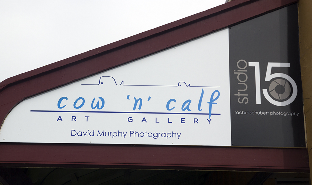
Well we went for a drive, the storm has passed , we still have rain and the annex cant go anywhere now. Went to Stanley to see a photo our friend has put into the Cow & Calf Gallery, photography fine art, really lovely art. Got to meet David the owner and Photographer. Next door is the Brown Dog cafe, where we went to have some morning tea, lovely old and unique place. Just loved both their names and there is a story behind the Brown dog but didn’t find out if there was a story behind the gallery name.


 We did the walk along the historical area of old buildings in between sheltering in peoples veranda’s, loved this sigh as well, I have removed his phone number.
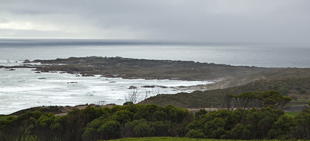
 View from Bobs place, looking out over the bay of Stanley.
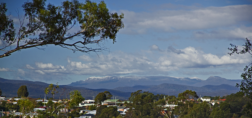
 Under the Nut at Stanley.
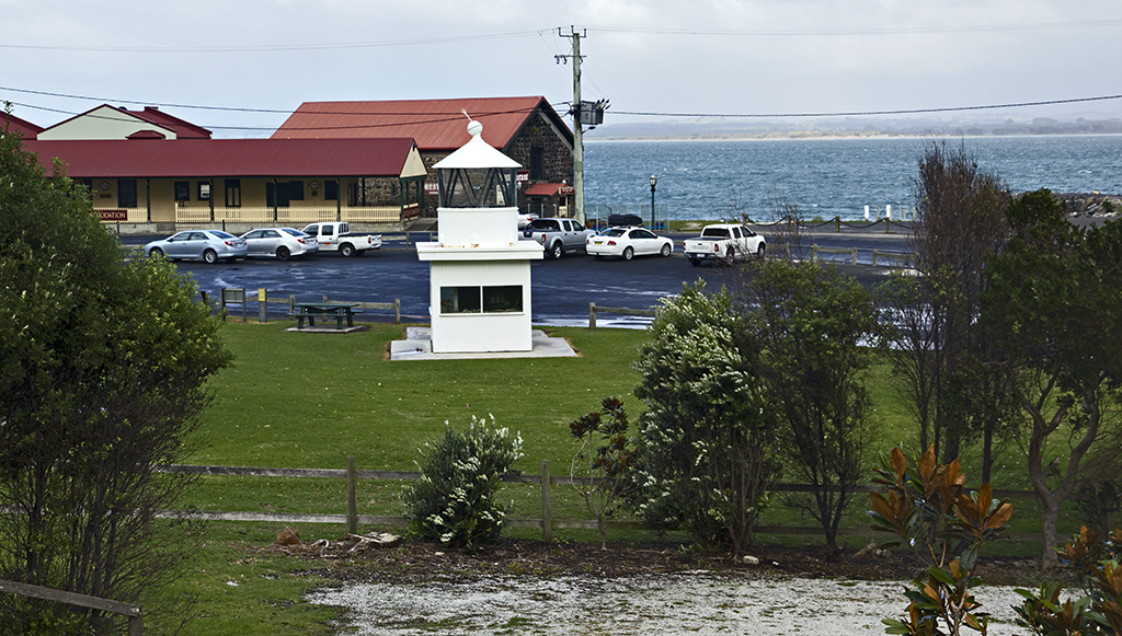
 Old railway station down by the jetty. I think this top part of the light house has been moved from somewhere else.
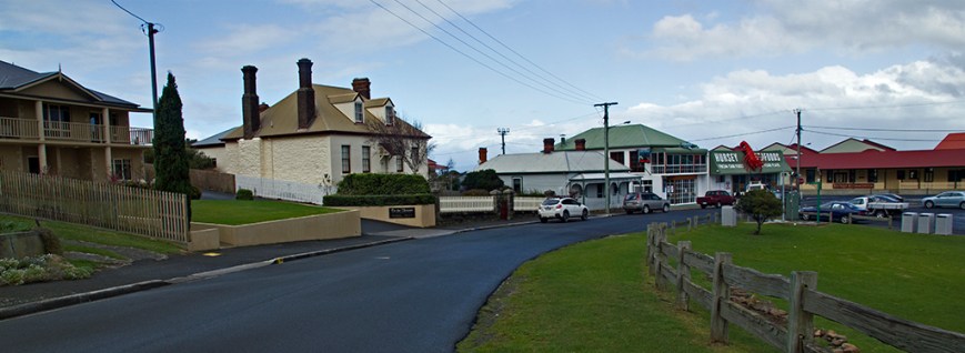 Road heading to Railway station and the big crayfish, great fish and chips we bought from there, so fresh.
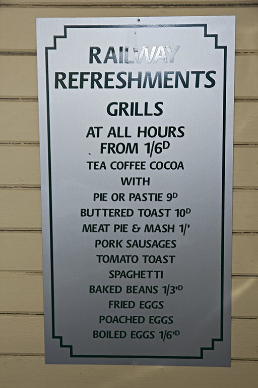 Prices from old. Pound, Shillings and pence.
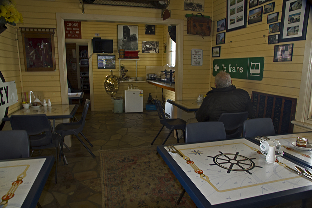
 Inside waiting for a train, joking, it is now a cafe.
 Church Stanley
 Chair lifts up to the Nut, closed today, winds were very bad.
 Another view of The Nut.
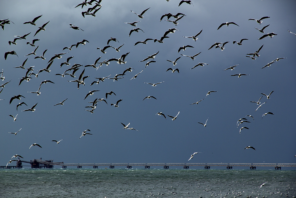
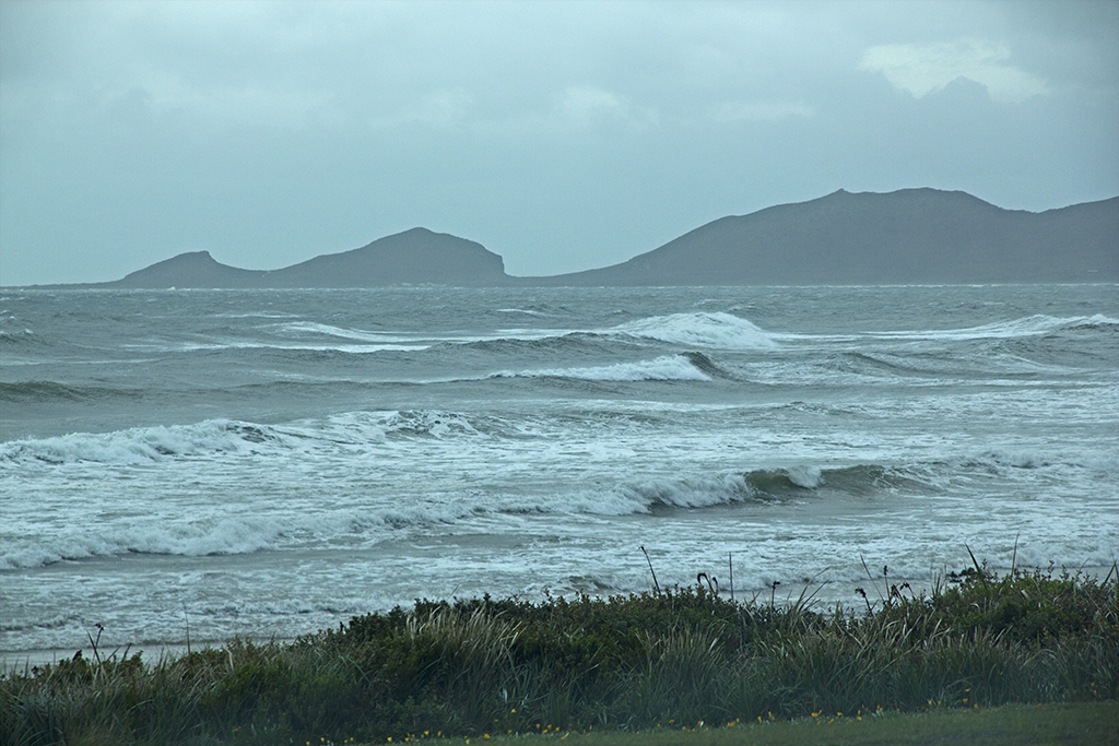
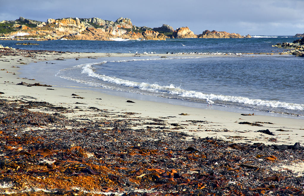
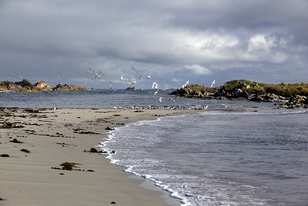
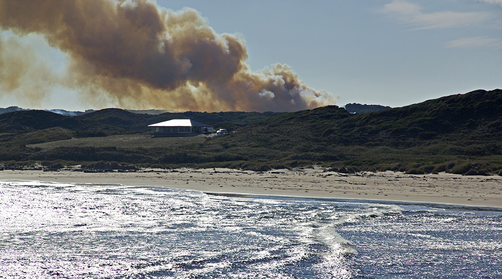
 We were at Port Latta, all these gulls were going crazy, then they would all land on the water then take to the air again, but the winds were really blowing them around. Funny to watch.
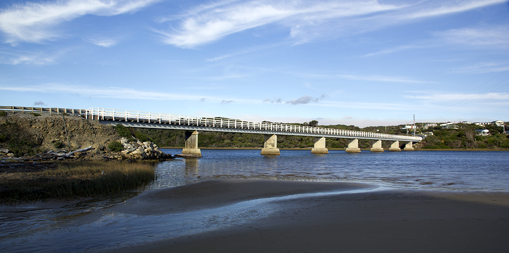
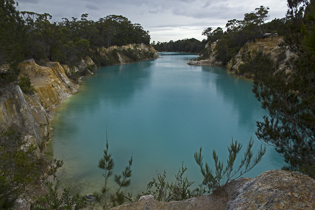
 Crayfish Creek on our way back to Rocky Cape.
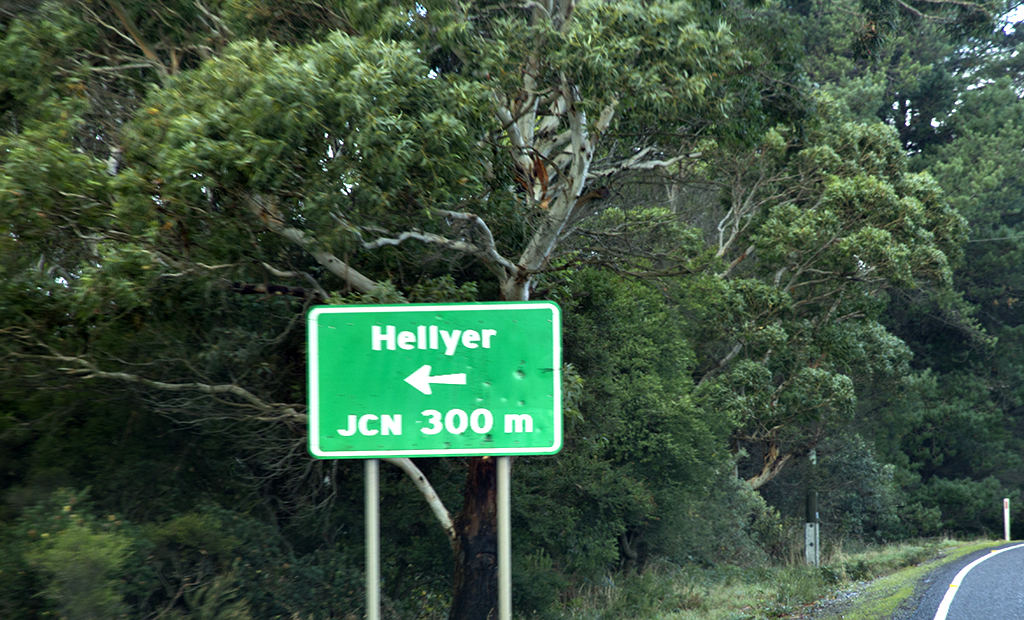
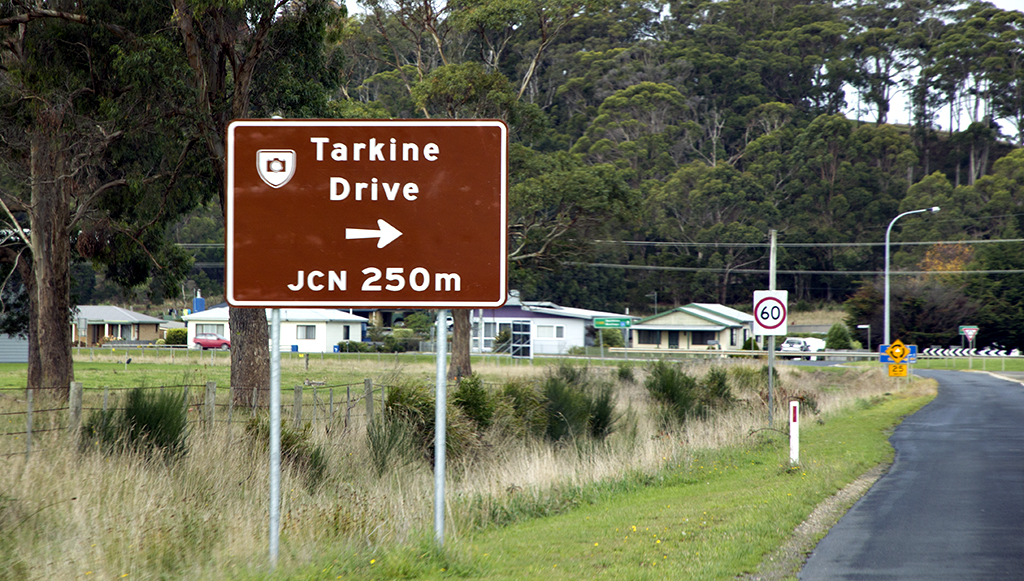
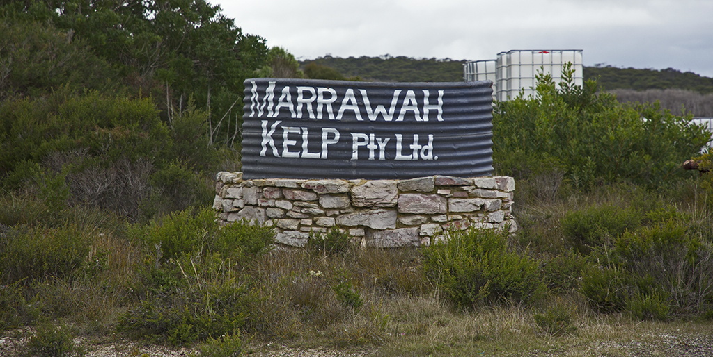
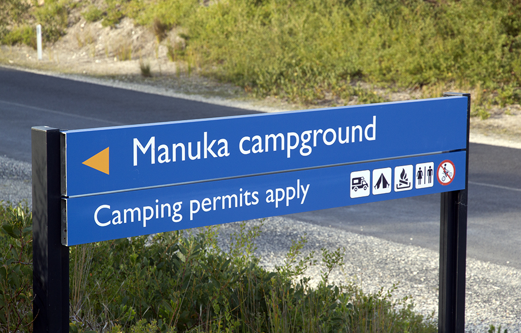
 We love this sigh, hell yer great. Haha.
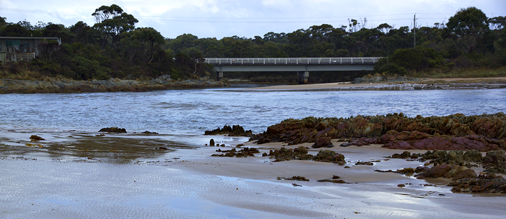
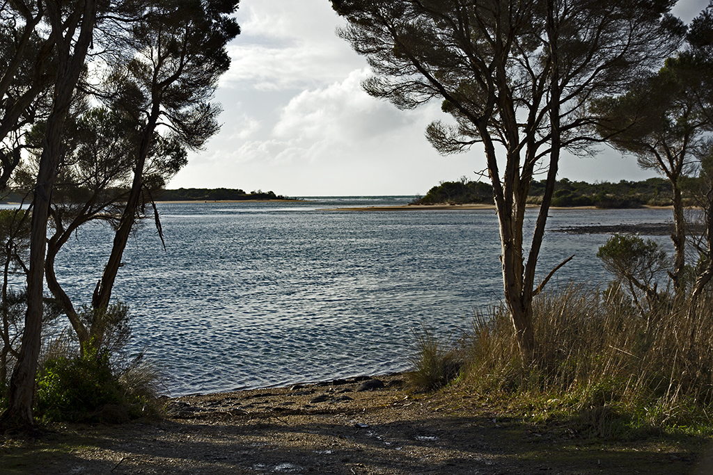
 Crayfish creek heading out to sea.


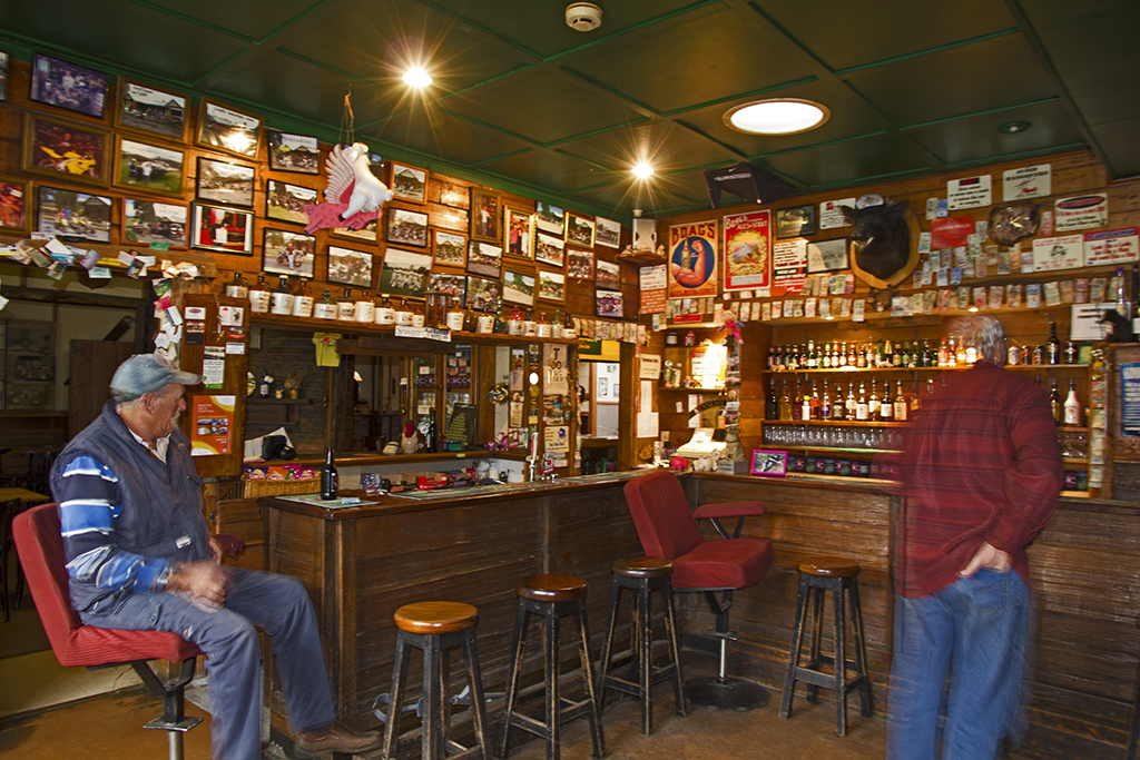 Inside the Pub in the Paddock near St Columba falls.
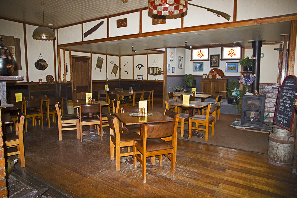 Dining room
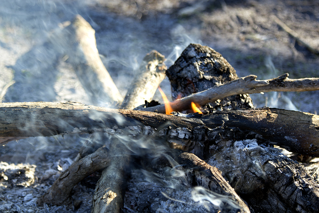
 Very welcomed fire.